Jun 24, 2013

Elk Haven Horse Camp


1015284_10151762196592150_1014975741_o


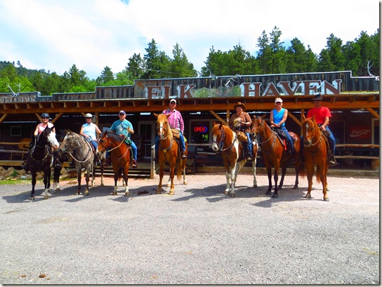
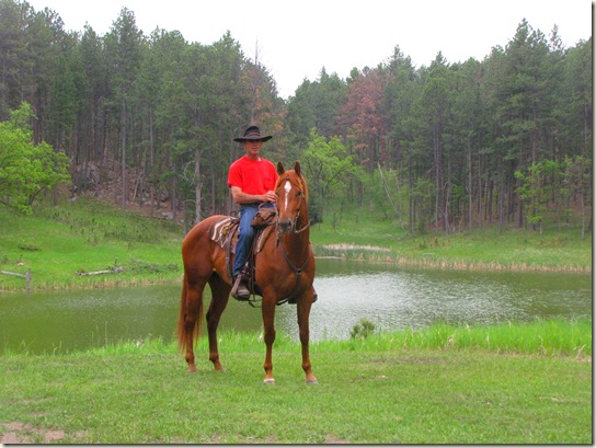
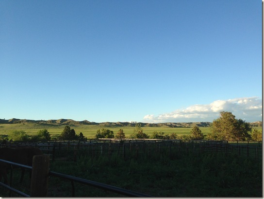
During the first part of our visit to South Dakota, we stayed at Elk Haven Horse Camp.  Located in the Black Hills near Keystone and snuggled up next to Custer State Park, the all horse camp provided just about everything you need when traveling with your horses. 


  SD 2013 Canon EOS 193


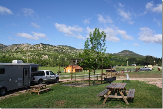
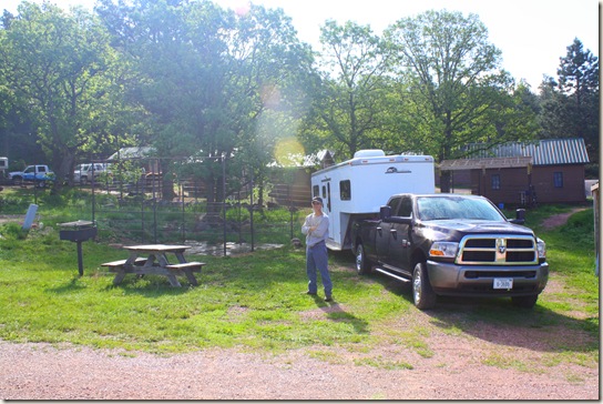
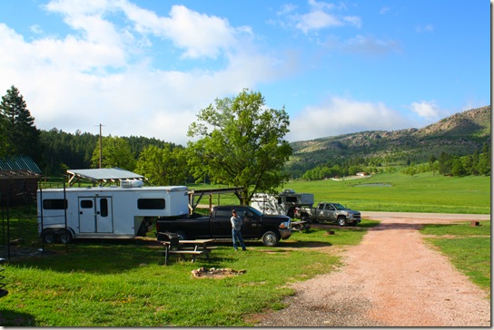
Elk Haven is a full service horse camp offering sites with electrical hook-up, water and some sewer.  Each campsite offers a fire ring, picnic table and pen for your horses.  Our mares stayed together but if you have horses that cannot be stabled together, a divider is provided to make the pen into two stalls.  Some of the pens are covered and some of the sites are shaded.  We planned to spend more time on the trail than in camp so by sunset, we had plenty of shade.


SD 2013 Canon EOS 192


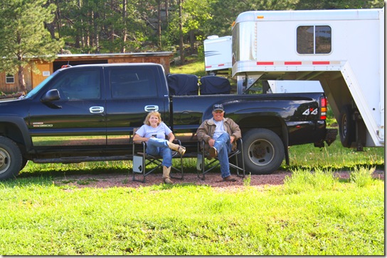
Elk Haven also offers small cabins with pens for those who do not have living quarter trailers.  You can see a glimpse of them behind our truck in the above picture. 


IMG_0205


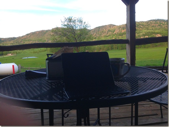
Conveniently located next to the the campground is the general store which serves breakfast, lunch and dinner – and has wifi!  I spent my mornings up there on the veranda.  The bathrooms and showers are open 24 hours.  Owners, Jim and Sheri Smith, have done a nice job by providing a welcoming and horse friendly atmosphere. 


SD 2013 Canon EOS 189


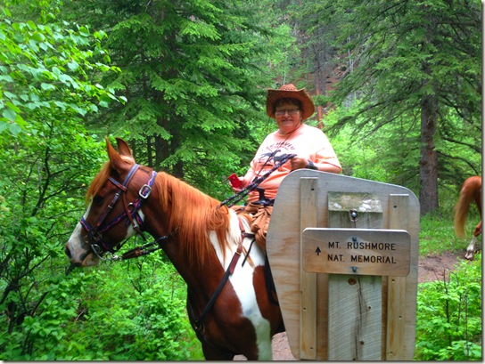
We chose Elk Haven because of its proximity to the trails to Harney Peak and Mount Rushmore, since we would have to trailer out to both.  With that said, you can ride to both destinations from Elk Haven, but round trip, it would be a long day and close to double the miles.  Jim also has a stock trailer you can rent if you prefer not to break camp.  We trailered to the Iron Creek Horse Camp trail head to access Norbeck Trail and Centennial #89 respectively to those locations.  We rode toward Harney Peak on Monday and Mt. Rushmore on Wednesday,  so on the day between, we planned an easier ride to give the horses some downtime.  We were anxious to explore the trails around Elk Haven. 


IMG_0237


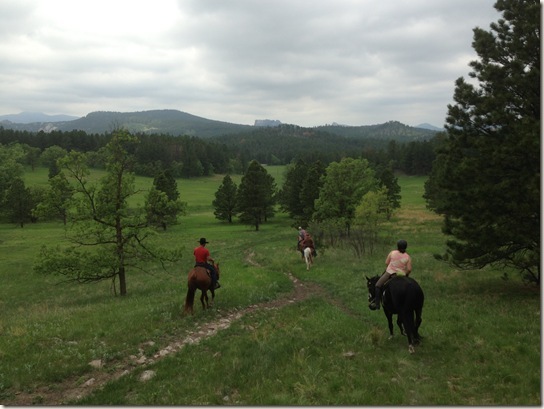
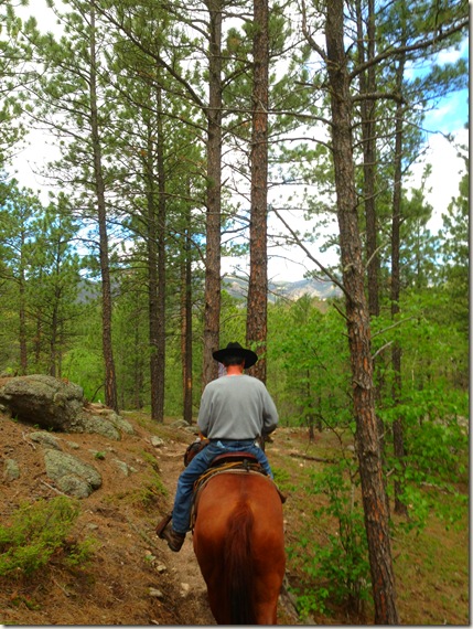
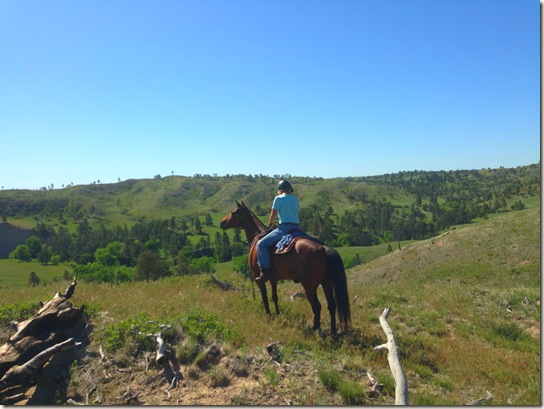
Jim had told us there were trails out of their campground.  We could go to Custer State Park or Lakota Lake or just explore the Black Hills.  We wanted to take just a couple hour ride so we decided to go toward Lakota Lake.  We headed out the back of the campground and turned to the left.  If I could tell you what direction, I would, but every time we are in the Black Hills, my sense of direction fails me.


ehl


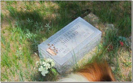
The trails were easy with little rock and in the trees.  While looking off to the left, someone noticed a grave.  We rode over to take a look.  Although it was a modern headstone, it was placed in memory of James Fernando Shepard who died in 1905.  The inscription says the stone was placed in his memory by his grandchildren and that he was murdered over a mining claim.  Interesting. 


eh2


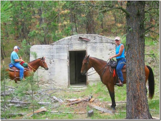
We rode on and found an entrance to a mine.  No one was too anxious to go inside and check it out.  We peeked in from our saddles. 


ehl3


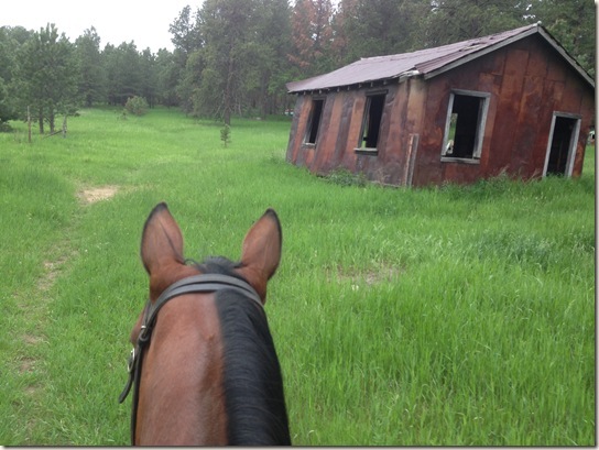
And down yonder from the entrance, some old buildings, the one above was missing siding and a door.  Kathy is checking out the aspens trees or maybe they were birch.  We learned the difference but I don’t remember now. 


IMG_0232


We learned later that this was the mining town of Spokane and it was noted on the map.  When I returned home, I googled to find more information.  Evidently it was a silver mine around 1890 and there were a lot of references to it being an old “ghost town”. 


SD 2013 CanonPS 218


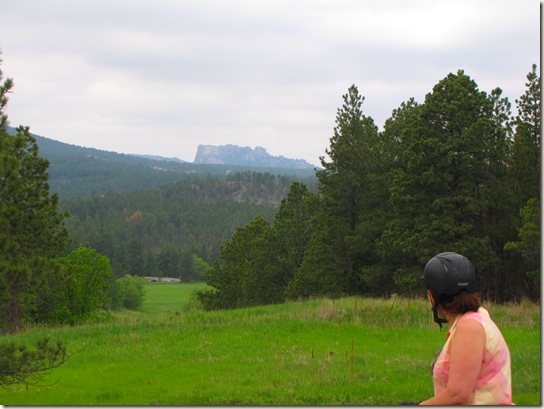
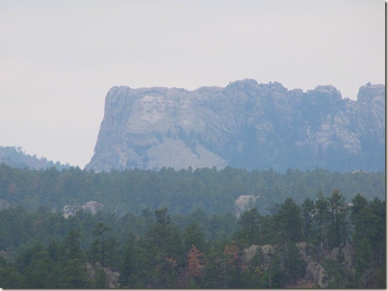
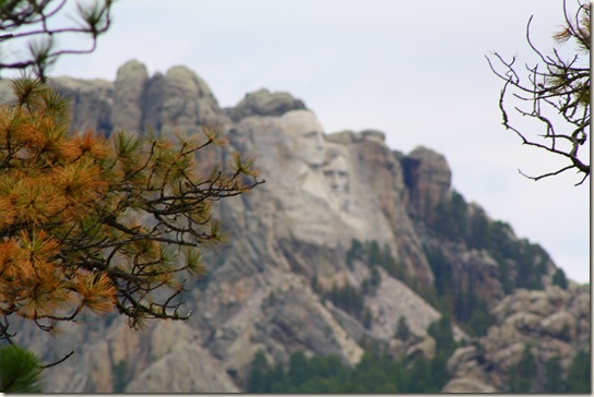
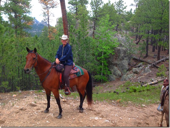
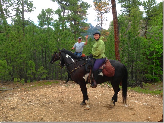
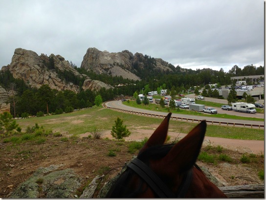
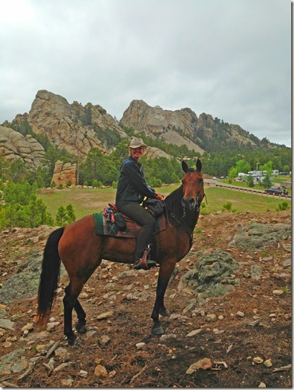
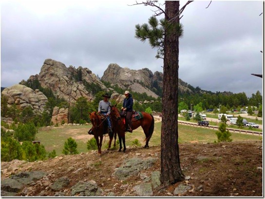
We then came to a clearing with a beautiful view of the Black Hills.  As I was trying to get the group together for a picture, John said "That's Mount Rushmore."  Huh?  John and I only wear glasses for distance and neither of us had them on.  How could he see what was on the rock over our heads?


SD 2013 CanonPS 217


I didn't have my SLR camera so no zoom lens, so I took a picture of it with my other camera and blew up the display.  Sure enough, it was Mount Rushmore!  Who knew?


IMG_0250


At the bottom of the hill, the trail split into a Y.  I don't know if we really discussed which way to go, but we went left.  It took us across a road and up and down a big bluff.  At the bottom of the hill there was a trail entrance called Iron Creek #15.  Assuming it took us to our destination, we started to follow it.


IMG_0253


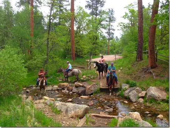
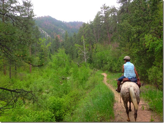
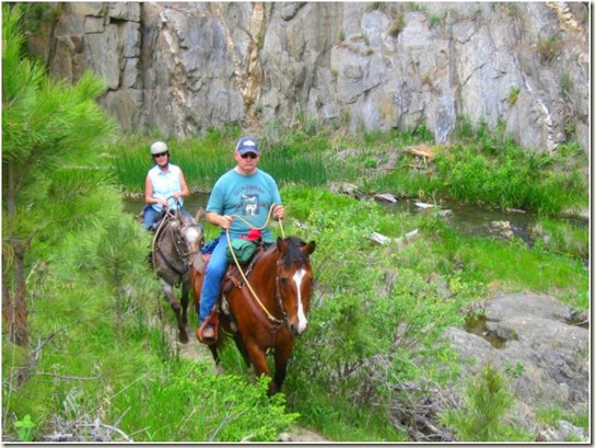
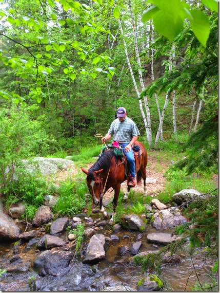
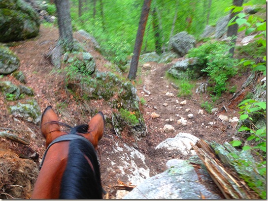
Oh, my!  What a surprise!  This little unmentioned trail was simply beautiful.  Kathy called it the "enchanted trail" while I said it was the "Garden of Eden!"  It was so green and pretty and fresh.


IMG_0264


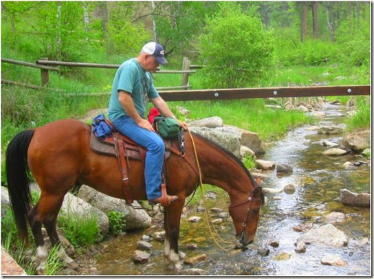
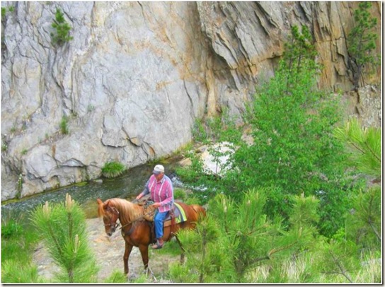
The trail followed a "bubbling brook" and provided many creek crossings.  Each crossing was constructed so that the horse stepped down into it from "stairs" rather than down the side.  We'd linger while they drank.  


eh4


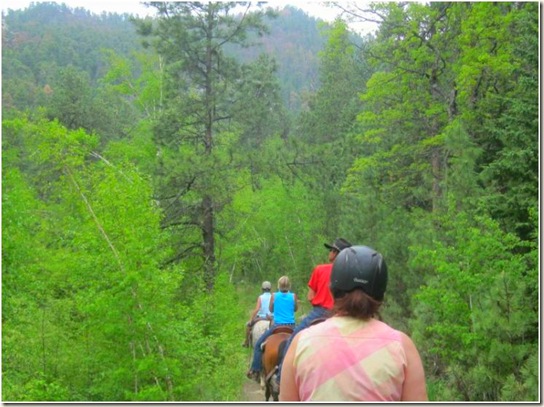
On our left side was a mountain.  We looked for wildlife but saw none.  It was so quiet along this ride; other than our oohs and awes, we were all left to our own thoughts, mostly absorbed by the beauty.


elkhaven5


After several miles, John mentioned that we still hadn't come to a lake and we had been out for almost two hours.  I looked at my GPS and found we were heading away from the lake, not toward it.  At the Y, we should have went right, not left.  No regrets; we wouldn't have found this lovely trail if we had went the right way to begin with.


IMG_0272


SD 2013 CanonPS 281


SD 2013 CanonPS 267


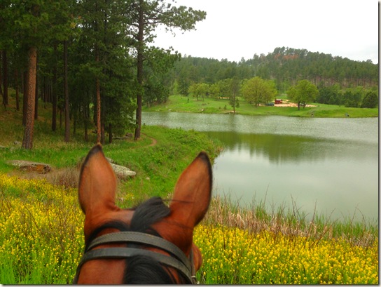
We turned and made our way back to Lakota Lake.  It was a small lake, easy to ride around.  Once again, offered some pretty views from each side.


elk haven 6


There was a sheer rock wall on one end of the lake.  Water rushed behind it and down a stream, over a little waterfall. 


elk haven 3


After circling the lake, we followed the same trail back.  We all regretted we did not have more time at Elk Haven to explore their other trails.  We were sure they must offer the same surprises.  Next time we would like to dip down to Custer State Park or go deeper into the Black Hills behind Elk Haven.  There are lots of possibilities!


When we returned, I mentioned to Jim that I should write his travel brochures.  He said I was more than welcome to give it a shot.  So here is the first excerpt.  I need to come back again to continue the story. 


.
Jun 21, 2013

Mt. Rushmore


SD 2013 Canon EOS 203


When we went to South Dakota in 2008, it was our intent to ride both Harney Peak and Mt. Rushmore.  Harney Peak was every thing I dreamed it would be but we didn’t make it to Mt. Rushmore that time.  I believe it was raining the day we planned to go and since we had reservations outside the area the following day, there wasn’t an option to ride it another day.  Short of an earthquake, our founding fathers weren’t going anywhere.  There would be another time.  Truth be known, everyone I talked to kept mentioning how bad the last part of the trail was; mentioning big steps and lacerations on horses.  I was kind of chicken to even try it!  But time passes.  Kind of like having a baby, you forget the bad things or at least tell yourself it really can’t be as bad as they say! 


After Harney Hell, I emailed my friend, Sandy, who had just rode to Mt. Rushmore the week before and asked her if there was a lot of tree fall like the Harney Peak trail.  She told me the trail was clear and except for the last quarter mile or so, the trail was good.  Dang!  It sounded like the horse-killer steps were still there.  I told myself if it was that bad, that I would dismount and let Windy go up them alone.  We would ride to Mt. Rushmore. 


IMG_0282


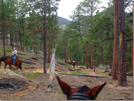
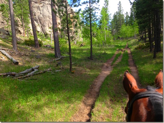
We started at the same trail head, Iron Creek Horse Camp but this time accessed Centennial Trail #89.   Immediately we knew this trail would be a good one.  There was none of the tree shed that we saw on Monday.  There was some rock at the very beginning and then it opened up into a nice, well traveled trail.


IMG_0320.JPG (2)


  The ride to Mt. Rushmore was a little over five miles.  There were plenty of ups and downs and lots of stream to cross, so the horses had enough water along the way.  It was a cool day, so they traveled well.


IMG_0303


Me on the other hand did not come prepared!  I had a wind breaker and a tank top on and I was chilly.  I didn’t even have gloves in my pommel bag.  After suffering terribly from hot flashes while negotiating Harney Peak, it didn’t occur to me that on this day, I needed to dress warmly.  And yes, I am not sporting my helmet.  My hot flashes start at the back of my neck and continue up the back of my head and around my neck.  The helmet intensified it the other day and I opted not to wear it this day.  My head was on fire.  I have worn a helmet for years and under normal riding circumstances, they are not hot.  But if you have never experienced hot flashes, you won’t understand the type of heat your body expels.  It is crazy and terribly frustrating.  With that said, I was chilly that day and may have welcomed a hot flash just to take the chill off!  


IMG_0298


Along the way, we would catch a glimpse of Mt. Rushmore.  We would stop and take a picture.  Obviously, I missed George in this one but captured our photo-bomber!  Yes, we were still playing that game. 


IMG_0328.JPG (2)


Finally, we got to Blackberry Trail which leads us to Mt. Rushmore.  We were spot on as far as mileage was concerned and it was estimated we would hit the bad stuff in about a 1/2 miles. 


IMG_0333


We came upon some rock but nothing bad.  Nothing compared to what we rode at Harney Peak.  When I reached the top and looked back at the riders still coming up, I thought to myself, “this is it?  This is the bad stuff?”  Whew!  Piece of cake!  And then I turned around. 


IMG_0341


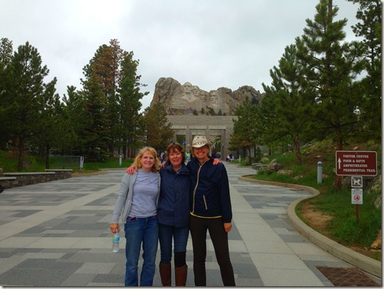
There they were!  George and Thomas and Teddy and Abe!  My parents brought me here as a kid, I brought my kids here and now I am here on my horse overlooking one of our country’s most recognized icon.  Mt. Rushmore.  It really took my breath away. 


IMG_0348


Kathy and I high-fived!  It was our do-over from 2008.  We finally made it it!  She snapped this picture of me which I texted to my boys and my boss and my co-worker. 


IMG_0360


As we settled in to have lunch under the heads of our founding fathers, the chill was really starting to set in.  I made a comment that if I had a debit card on me, I would go to the gift shop and buy a sweatshirt.  One of the guys who were with us said he had a debit card and we could use it if we bought him one, too!  Score!  Remember the movie The Village?   It felt a little like that as Joni, Jules and I came out of the woods and into civilization.  I have to say, we were a bit giddy at the time.  We photo-bombed some strangers and then had some stranger take our picture.  And we power shopped for sweatshirts and headed back into the forest. 


IMG_0366001


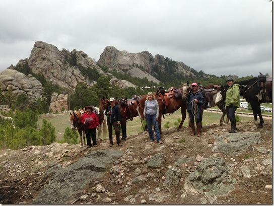
More pictures were taken from our spot on the hills.  Me with my husband, me with my BFFs.  It was truly an event to commemorate. 


IMG_0370


We saddled up and headed back down toward the trail head.  I swear I took a video of the bad spot but can’t find it so must have dreamed it.  Here is a picture of Windy negotiating one of those steps.  You’ll note I am taking a picture while she is looking, so it wasn’t too scary at all.  Joni assured me it was indeed a nasty end of the trail.  Since she wasn’t on Harney Peak with us, I believe her. 


Other than Windy breaking her EasyBoot and me losing my sunglasses, it was a non-eventful ride as far as riding goes.  It was definitely a highlight of the trip for all of us. 

Jun 18, 2013

Harney Peak (Hell)


Photo Taken From Internet


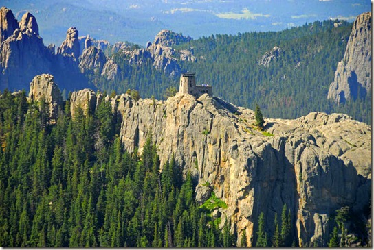
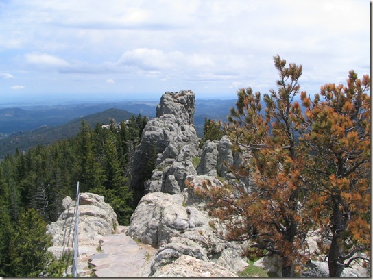
Harney Peak. It’s elevation at 7,244 feet is the highest point east of the Rockies.    Taken from an internet site, “The historic fire lookout tower built upon the remote summit remains as an abandoned shell and is open to the public. Built by the Civilian Conservation Corps in the mid-1930’s, photos of the structure show the native stone that was manually hauled the three miles to the summit.” 


We could see it from where we were riding from but getting there was the problem.


kn1


Five years ago we rode to Harney Peak from the Willow Creek trail head near Palmer Gulch & the Mt. Rushmore KOA.  It was and still is the most awesome trail I had ever rode.  Not because it was difficult - it was at times - but because it was beautiful. We crossed creeks, we picnicked in caverns and we had “to-die-for” views from the mountaintop.  I couldn't wait to share that with Jules, Steve and Robyn like Kathy and Rich shared it with us. 


Vacation 2008 166


A few weeks ago, I was emailing a local CTR gal and she didn't think the Willow Creek trail head would be open all the way to Harney Peak this early in the season. Like Wyoming, the beetle bugs have infested the trees and there are tons of tree fall on the trails and not enough manpower to clean them up. We decided to wait until we got to South Dakota to get a read on what is open and what is not.  There is more than one way up that mountain.  


We found out some of our fellow campers made it to Harney the day before we arrived using the Norbeck Trail from the Iron Creek Horse Camp.  They confirmed there was a lot of tree fall.  They said they cleared what they could and went around the rest; making it up there and back in about 6 hours.  We were hopeful since it sounded like it had been cleared and since none of us had been on the Norbeck Trail, it would be new to all of us. 


SD 2013 Canon EOS 148


We left for the trailhead at 9 this morning. I was disappointed that by the time we got there it was already nearly 80 degrees and humid. What the heck?  Combine that with hot flashes; I was terribly miserable before we even got on the horse.  Since my hot flashes are primarily around my neck and up the back of my head, my helmet didn’t even last five minutes.  Heck, my hair was even too hot!  I was thankful to find a tank top in the trailer. 


SD 2013 Canon EOS 091


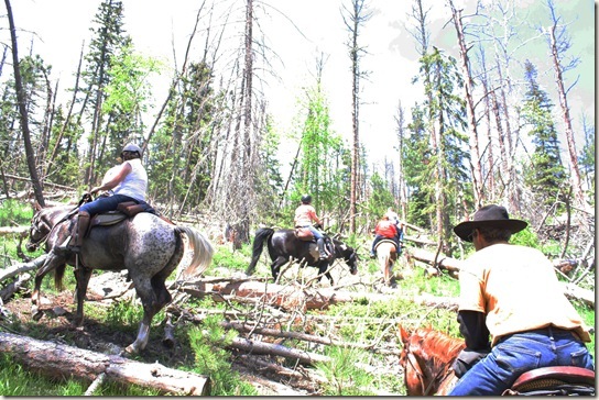
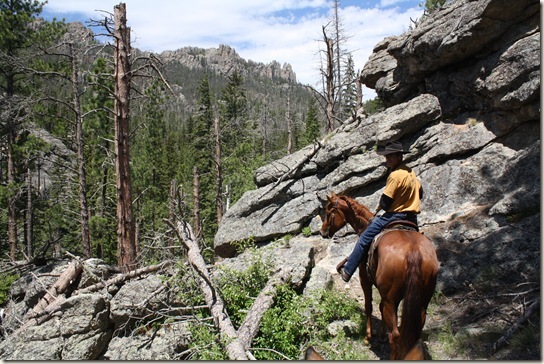
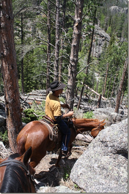
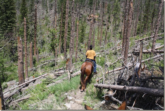
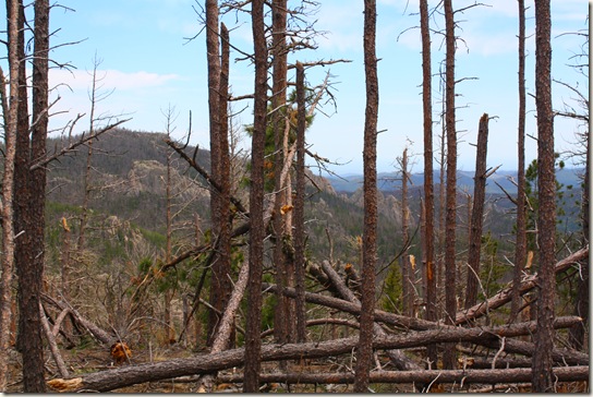
The first mile or so was okay but the more we climbed, the more there was downed timber. We would have to step over our pick our way around it. The trail grew more rocky and the only description I have is it was the most 'technical' ride I ever had. We were missing the views picking our way thru the debris.


SD 2013 Canon EOS 079


SD 2013 Canon EOS 080


I didn’t get a lot of pictures in the bad stuff and when I did, some turned out like this.  I had forgotten to change the white balance on the manual setting.  But these pictures give you a good idea of what the trails were and how hard the horses had to negotiate their steps around the downed trees. 


SD 2013 Canon EOS 044


In this picture, you can see the narrow trail that Fancy must pass through; dead trees to her left and rock to her right. 


SD 2013 Canon EOS 046


Under foot was rock and at times, the horses had to step over dead trees while on rock or uneven surfaces.  There were no areas not littered by the dead trees.


SD 2013 Canon EOS 050


Our fellow campers said it was a six mile ride up the mountain.  When we first caught a glimpse of the At the time we caught a glimpse of the lookout tower, our GPS said we had already gone over 6 miles.  We ran into some hikers who were coming down the trail and they told us we had about 2 miles to go. 


We were spent. Our horses were tired, we were tired. We came, we saw but there was not enough gumption in any of us, except maybe John and Rich, to go any farther.


SD 2013 Canon EOS 107


We lunched in the shadow of Harney Peak and then began our descent. Although faster - just because the horses knew we were going back, it was just as difficult. My elbows and forearms ache from bracing myself on the saddle horn going down the stairsteps or over rock. My thighs were burning. Seriously, over the fire later that night, I said that ride made a CTR feel like a walk in the park. We all agreed it was the hardest ride we ever have done.


IMG_0209


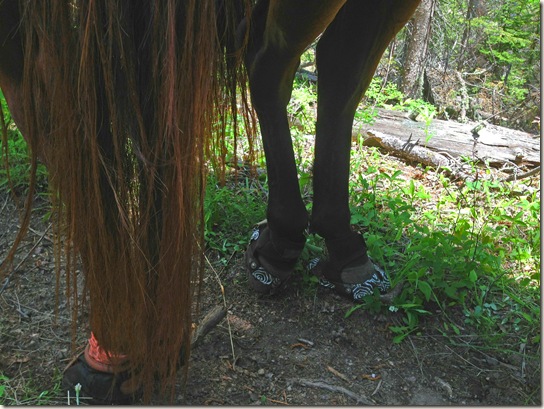
The horses did good, all things considered. They were all business although a few of them came back with some good cuts on their legs.  Fancy and Windy both wore back boots.  Fancy used the EasyBoot Trail and after numerous water crossings, the velro closure would no longer stay closed.  We ended up removing them on the ride back. 


IMG_0216


I had plenty of time to think about how far I had come with Windy. She didn't rush the hills, she kept my knees safe from most of the trees except once when she slipped. She drank good when we crossed the streams and she was surefooted.  She handled the trail well.  I couldn’t have been more proud of my horse or those horses who shared the trail with us that day.  They were tired, sore and no doubt, as exhausted as we were but they brought us back down safely. 


The trail beat us that day.  The next morning we were looking forward to some easier riding. 


.
Jun 17, 2013

South Dakota Bound


By the time I get this posted, I’ll have been back home and back to work.  Back to the real world.  But I had a great vacation in South Dakota and I’m most anxious to share it with you.  This will probably take a few posts, relying on what I emailed to the Horsetales group while we were away. 
 

IMG_0138


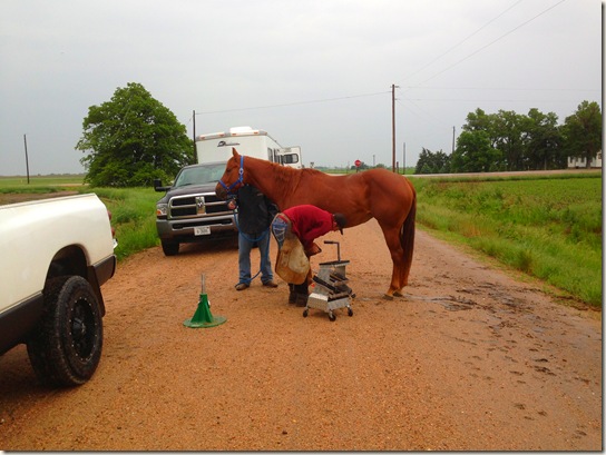
We had an interesting start on the day we left.  As I got the horses ready to load, I found Fancy missing a shoe. Our new farrier is an hour the other direction and provided we could get ahold of him, realistically it would put us about 2 hours behind.  We had about 600 miles in which to find one.  John drove and I pulled out my iPad and posted my farrier request on a statewide equine Facebook page.  Within thirty minutes I had a farrier offer to meet us along the road.  A call-out to Ryan Jacobi of Monroe.  Just like a pit crew, we pulled her out, he reset her and we were back on the road in no time. The power of the internet!


However, my biggest concern when we loaded that day was Windy.  She did not follow the other horses up from pasture when I called them that morning.  Before I could fetch her, she came up on her own but wasn’t interested in sharing the grain I offered the herd.  She just didn't have her normal spunk. When I checked her during the shoeing episode, she had pooped, but she still didn't have that perkiness about her. You know, sometimes we just know. When we met our friends, Kathy & Rich, in Broken Bow, she had not pooped again.  She was just droopy. 


IMG_0143


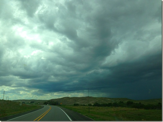
We planned to stay the first night at the Outriders Trailhead in Chadron.  Storms threatened us on the drive but none came to fruition.  We made it there in good time, checking on Windy at every stop along the way.  There was no change and no poop.  She didn’t show any discomfort; wasn’t sweating or kicking at her stomach – she just was listless.  I walked her at the Outriders Trail Head and nothing. She was eating grass, drinking... just not pooping and still a bit lethargic. There was no cell coverage at Outriders so we decided to load up and go into Chadron and find a vet even though it was after hours on a Saturday night. 


IMG_0145


The power of the internet failed me this time. I had plenty of numbers but no vet would answer or return calls. We went as far as Crawford trying to find SOMEONE and no go. So we pulled through Ft. Robinson and camped at Soldier Creek. Here she finally pooped. Now granted, she had no signs of being colicky other than no poop.  But something wasn’t right.  I gave her some Purina hydrated hay soaked in water and she ate that well and said my prayers that she would be better in the AM.


IMG_0164


Come morning, she had a lot of gas.  John was up first and said her poop was real watery and she was terribly gassy.  She looked perky and herself. I loaded her in the trailer and got a good sized poop out of her. We decided to ride a bit and check her way of going.  I was thrilled to find her 100% fine.  If I hadn’t known she was off the day before, I wouldn’t have suspected anything was wrong with her.  That was a relief. 


SD 2013 Canon EOS 190


We made it to Keystone, South Dakota later that afternoon.  We had reservations in Elk Haven Horse Camp, conveniently located near Custer State Park and some of the other trails we planned to ride.  We set up camp to be semi-portable as we would be trailering to some of the trail heads.  Our friends, Jules and Steve pulled in a few hours later and Robyn after them. 


1015284_10151762196592150_1014975741_o


The next day we planned to ride to Harney Peak. 


.